Original file (3,000 × 4,000 pixels, file size: 8.06 MB, MIME type: image/jpeg)
This file is from Wikimedia Commons and may be used by other projects. The description on its file description page there is shown below.
Summary
DescriptionCascade de Womé.jpg |
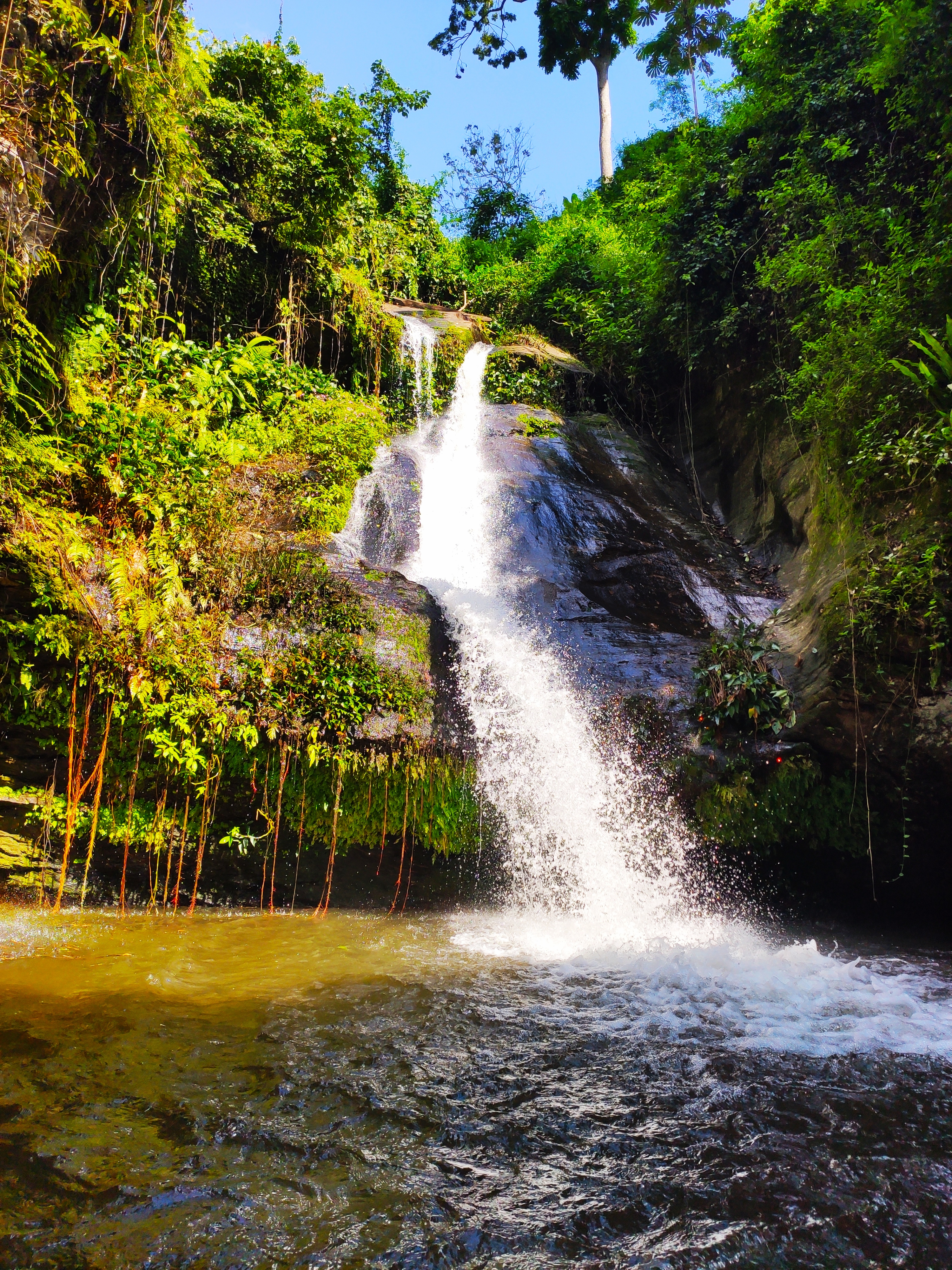
Français : Après 1 heure de piste, en 4x4 et descente à pied en pleine forêt du Togo entre jungle et broussaille. Découverte de la cascade de Womé.
|
||
Date | |||
Source | Own work | ||
Author | Archideus |
Camera location | 6° 51′ 30.58″ N, 0° 33′ 16.83″ E | View this and other nearby images on: OpenStreetMap | 6.858495; 0.554675 |
---|
Licensing
- You are free:
- to share – to copy, distribute and transmit the work
- to remix – to adapt the work
- Under the following conditions:
- attribution – You must give appropriate credit, provide a link to the license, and indicate if changes were made. You may do so in any reasonable manner, but not in any way that suggests the licensor endorses you or your use.
- share alike – If you remix, transform, or build upon the material, you must distribute your contributions under the same or compatible license as the original.
This image was uploaded as part of Wiki Loves Africa 2020 photographic contest.
Afrikaans | Alemannisch | العربية | বাংলা | brezhoneg | català | Cymraeg | dansk | Deutsch | English | español | eesti | suomi | français | Frysk | Gaeilge | galego | magyar | Ido | italiano | 日本語 | 한국어 | Lëtzebuergesch | മലയാളം | norsk bokmål | नेपाली | Nederlands | norsk nynorsk | norsk | português | română | русский | sicilianu | slovenščina | shqip | српски / srpski | svenska | ไทย | Tagalog | українська | +/− |
9 November 2019
6°51'30.582"N, 0°33'16.830"E
image/jpeg
63b77efe3be3f9062efbc3b163776df3850c8ccf
8,450,203 byte
4,000 pixel
3,000 pixel
File history
Click on a date/time to view the file as it appeared at that time.
Date/Time | Thumbnail | Dimensions | User | Comment | |
---|---|---|---|---|---|
current | 14:51, 26 February 2020 | 3,000 × 4,000 (8.06 MB) | Archideus | User created page with UploadWizard |
File usage
The following page uses this file:
Metadata
This file contains additional information, probably added from the digital camera or scanner used to create or digitize it.
If the file has been modified from its original state, some details may not fully reflect the modified file.
Camera model | Mi 9T Pro |
---|---|
Camera manufacturer | Xiaomi |
ISO speed rating | 112 |
F Number | f/1.75 |
Exposure time | 1/950 sec (0.0010526315789474) |
Lens focal length | 4.77 mm |
Date and time of data generation | 14:18, 9 November 2019 |
Latitude | 6° 51′ 30.42″ N |
Longitude | 0° 33′ 16.46″ E |
Altitude | 359.99 meters above sea level |
Width | 3,000 px |
Height | 4,000 px |
File change date and time | 14:18, 9 November 2019 |
Orientation | Normal |
Y and C positioning | Centered |
Horizontal resolution | 72 dpi |
Vertical resolution | 72 dpi |
Exposure Program | Normal program |
Sensing method | Undefined |
DateTimeDigitized subseconds | 823,205 |
DateTimeOriginal subseconds | 823,205 |
DateTime subseconds | 823,205 |
Flash | Flash did not fire, auto mode |
Light source | D65 |
Metering mode | Center weighted average |
Scene capture type | Standard |
Focal length in 35 mm film | 26 mm |
Maximum land aperture | 1.61 APEX (f/1.75) |
Date and time of digitizing | 14:18, 9 November 2019 |
APEX exposure bias | 0 |
White balance | Auto white balance |
APEX brightness | 4.57 |
Exposure mode | Auto exposure |
APEX aperture | 1.61 |
Meaning of each component |
|
Color space | sRGB |
Scene type | A directly photographed image |
APEX shutter speed | 9.891 |
Exif version | 2.2 |
Supported Flashpix version | 0,100 |
GPS time (atomic clock) | 14:18 |
GPS date | 9 November 2019 |