File:International Airport Cap Haitien (8070547595).jpg
From Eco Friendly Travels

Size of this preview: 797 × 599 pixels. Other resolutions: 319 × 240 pixels | 638 × 480 pixels | 798 × 600 pixels | 1,021 × 768 pixels | 1,280 × 963 pixels | 2,489 × 1,872 pixels.
Original file (2,489 × 1,872 pixels, file size: 638 KB, MIME type: image/jpeg)
.jpg)
Summary
| Description |
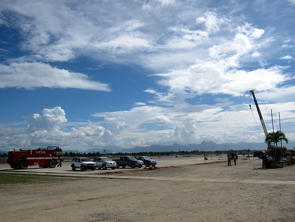
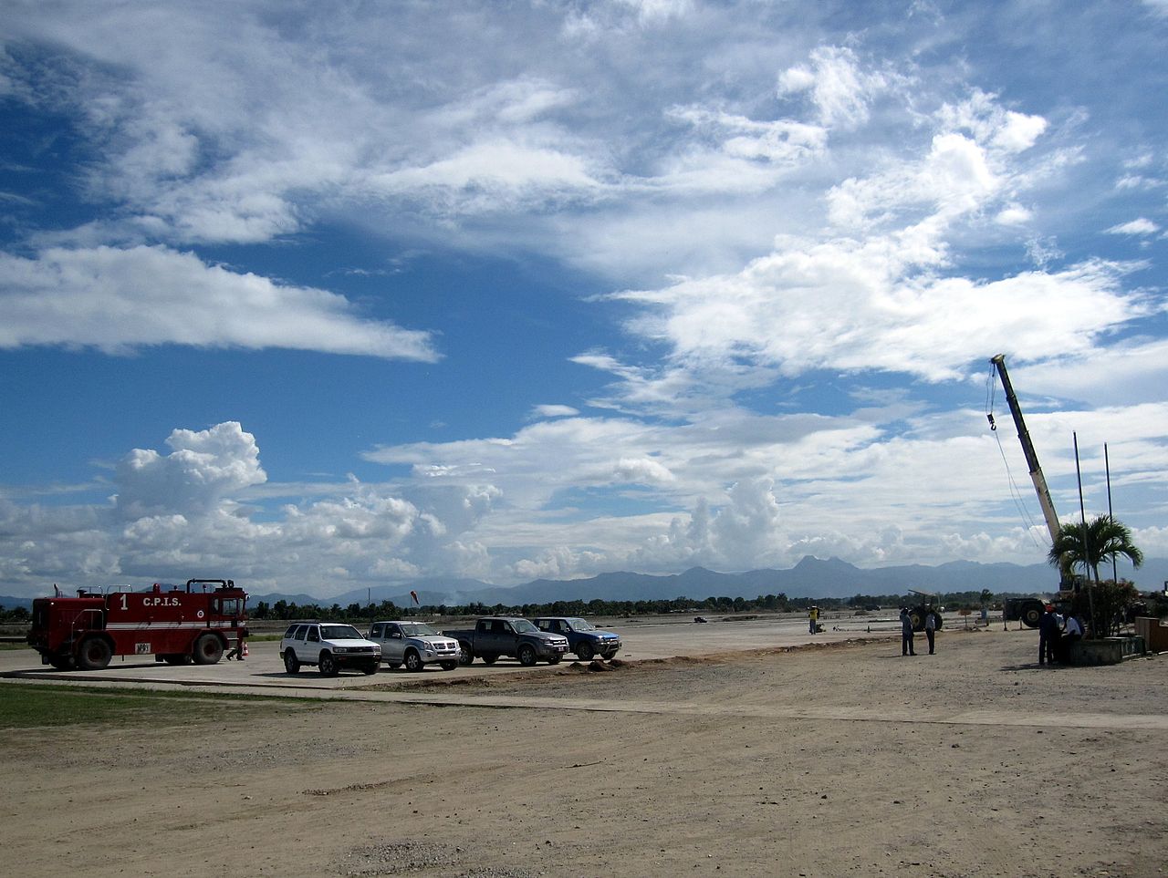
Cap-Haïtien Airport under construction to accommodate international flights. International Airport Cap Haitien, 2012. |
| Date | 7 October 2012, 02:54 (according to Exif data) |
| Source | Haiti Weekend 005 |
| Author | Stefan Krasowski from New York, NY, USA |
| Camera location | | View this and other nearby images on: OpenStreetMap |
|---|
.jpg¶ms=019.736350_N_-072.193353_E_globe:Earth_type:camera_source:Flickr_&language=en)
Licensing
This file is licensed under the Creative Commons Attribution 2.0 Generic license.
- You are free:
- to share – to copy, distribute and transmit the work
- to remix – to adapt the work
- Under the following conditions:
- attribution – You must give appropriate credit, provide a link to the license, and indicate if changes were made. You may do so in any reasonable manner, but not in any way that suggests the licensor endorses you or your use.
| This image was originally posted to Flickr by rapidtravelchai at https://www.flickr.com/photos/65638600@N05/8070547595. It was reviewed on 25 October 2014 by FlickreviewR and was confirmed to be licensed under the terms of the cc-by-2.0. |
File history
Click on a date/time to view the file as it appeared at that time.
| Date/Time | Thumbnail | Dimensions | User | Comment | |
|---|---|---|---|---|---|
| current | 12:35, 25 October 2014 | | 2,489 × 1,872 (638 KB) | Atlasowa | Transferred from Flickr via Flickr2commons |
File usage
The following 2 pages use this file:
.jpg)