File:Luxor Train Station R06.jpg
From Eco Friendly Travels

Size of this preview: 800 × 534 pixels. Other resolutions: 320 × 214 pixels | 640 × 428 pixels | 1,024 × 684 pixels | 1,280 × 855 pixels | 3,898 × 2,604 pixels.
Original file (3,898 × 2,604 pixels, file size: 5.45 MB, MIME type: image/jpeg)
Summary
| Description |
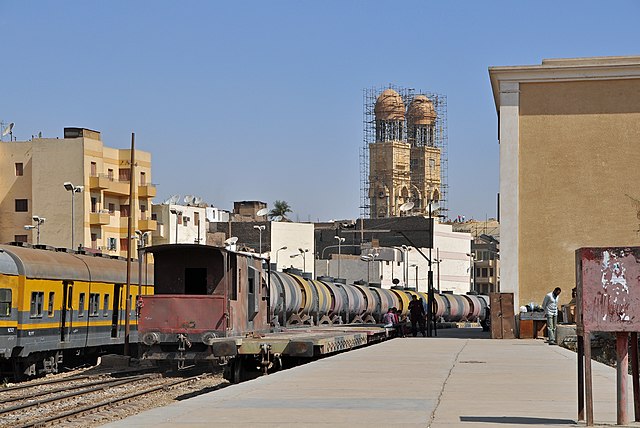
Nederlands: Het spoorwegstation van Luxor (Egypte): de sporen en de perrons English: Train station of Luxor (Egypt): the tracks and the platforms Français : La gare ferroviaire de Louxor (Égypte) : les voies et les quais |
| Date | |
| Source | Own work |
| Author | Marc Ryckaert (MJJR) |
| Camera location | | View this and other nearby images on: OpenStreetMap |
|---|
Licensing
I, the copyright holder of this work, hereby publish it under the following license:
This file is licensed under the Creative Commons Attribution 3.0 Unported license.
- You are free:
- to share – to copy, distribute and transmit the work
- to remix – to adapt the work
- Under the following conditions:
- attribution – You must give appropriate credit, provide a link to the license, and indicate if changes were made. You may do so in any reasonable manner, but not in any way that suggests the licensor endorses you or your use.
This image has been assessed using the Quality image guidelines and is considered a Quality image.
|
File history
Click on a date/time to view the file as it appeared at that time.
| Date/Time | Thumbnail | Dimensions | User | Comment | |
|---|---|---|---|---|---|
| current | 20:24, 24 March 2013 | | 3,898 × 2,604 (5.45 MB) | MJJR | User created page with UploadWizard |
File usage
The following page uses this file: