File:Schloss-Borbeck-Komplettansicht-Sonnenuntergang-2012.jpg

Original file (7,112 × 4,746 pixels, file size: 11.9 MB, MIME type: image/jpeg)
Summary
| Description |
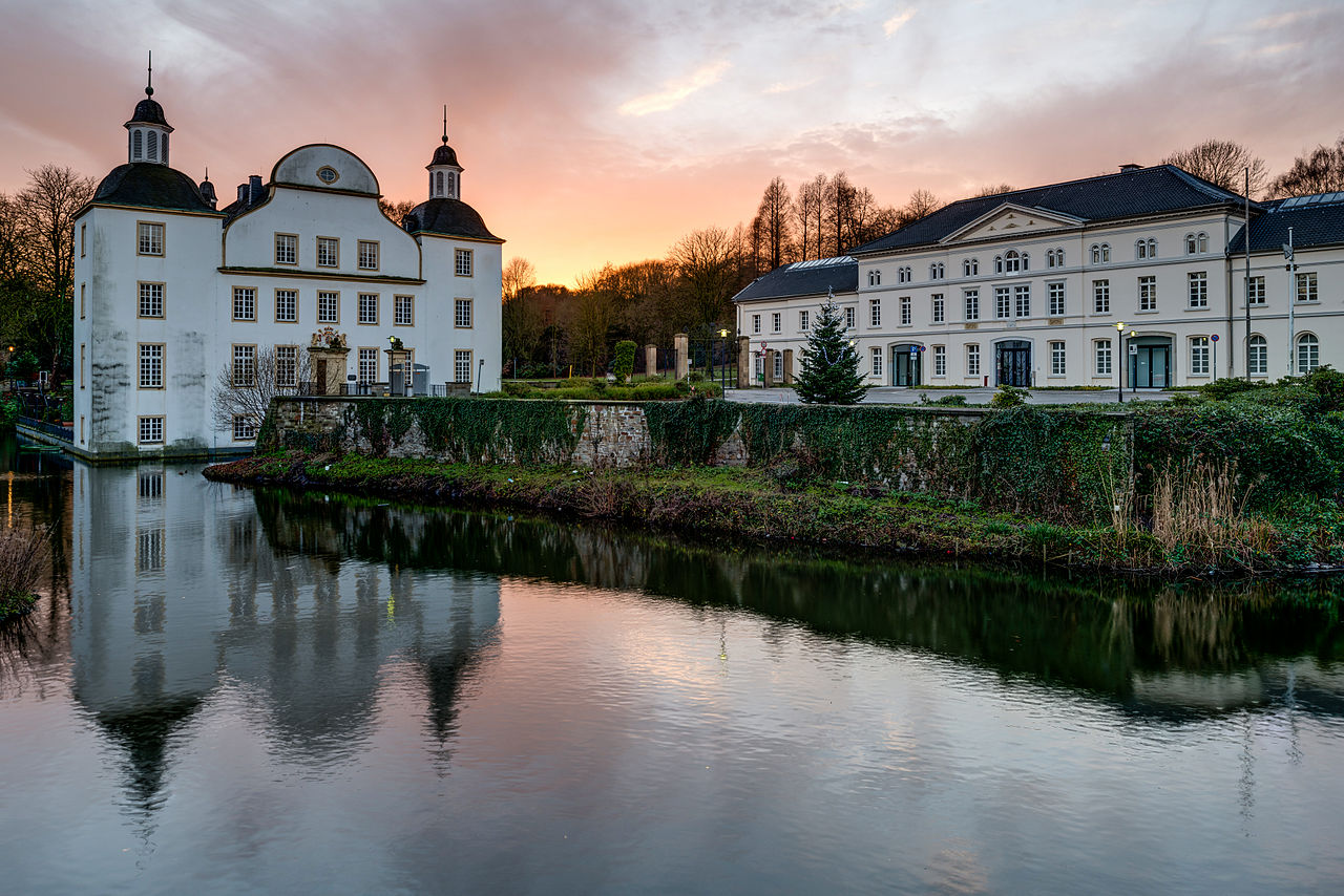
Deutsch: Schloss Borbeck mit Wirtschaftsgebäude am Abend English: Castle of Borbeck with outbuilding in the evening |
| Date | |
| Source | Own work |
| Author | Tuxyso |
| Attribution (required by the license) | Tuxyso / Wikimedia Commons / |
| Camera location | | View this and other nearby images on: OpenStreetMap |
|---|
|
This image was selected as picture of the day on Wikimedia Commons for 16 October 2013. It was captioned as follows: English: Castle of Borbeck with outbuilding in the evening. Other languages:
Deutsch: Schloss Borbeck mit Wirtschaftsgebäude am Abend English: Castle of Borbeck with outbuilding in the evening. Magyar: Az esseni Borbeck kastély a gazdasági épülettel este Русский: Замок Борбек (Эссен, Германия) в вечерних сумерках. 中文: 位于德国埃森的博贝克城堡。 |
This image has been assessed using the Quality image guidelines and is considered a Quality image.
|
Licensing
- You are free:
- to share – to copy, distribute and transmit the work
- to remix – to adapt the work
- Under the following conditions:
- attribution – You must give appropriate credit, provide a link to the license, and indicate if changes were made. You may do so in any reasonable manner, but not in any way that suggests the licensor endorses you or your use.
- share alike – If you remix, transform, or build upon the material, you must distribute your contributions under the same or compatible license as the original.
|
Dieses Foto ist vom Wikimedia Commons Nutzer Tuxyso. Achtung: Dieses Bild ist nicht gemeinfrei. Es ist zwar frei benutzbar aber gesetzlich geschützt. |
This photo was created by Wikimedia Commons user Tuxyso. Note: this image is not in the Public Domain. It is free to use but protected by law. |
||
|
|
Bitte benutzen sie nach Möglichkeit in der Bildbeschreibung: Tuxyso / Wikimedia Commons / CC-BY-SA-3.0 in unmittelbarer Nähe beim Bild oder an einer Stelle in ihrer Publikation, wo dies üblich ist. Dabei muß der Zusammenhang zwischen Bild und Urhebernennung gewahrt bleiben. |
I prefer the following credit: Tuxyso / Wikimedia Commons / CC-BY-SA-3.0 near to the photo or at a location that is common in your publication but preserving the association between image and credit. |
 |
|
Bitte lesen sie den Lizenztext gründlich, bevor sie das Bild nutzen! Wenn sie Fragen zu den Lizenzvereinbarungen haben oder mich auf eine interessante Nachnutzung hinweisen möchten, kontaktieren sie mich bitte per Mail: [email protected]. |
Please review the license requirements carefully before using this image. If you would like to clarify the license terms or inform me about a reuse of the image (which is always interesting for me), please contact me by email: [email protected]. |
||

File history
Click on a date/time to view the file as it appeared at that time.
| Date/Time | Thumbnail | Dimensions | User | Comment | |
|---|---|---|---|---|---|
| current | 14:27, 17 January 2014 | | 7,112 × 4,746 (11.9 MB) | Tuxyso | Disturbing branch removed |
File usage
The following page uses this file: