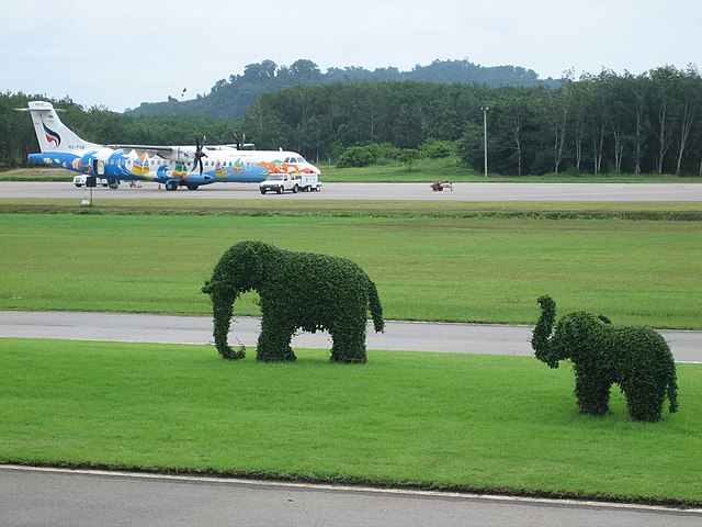
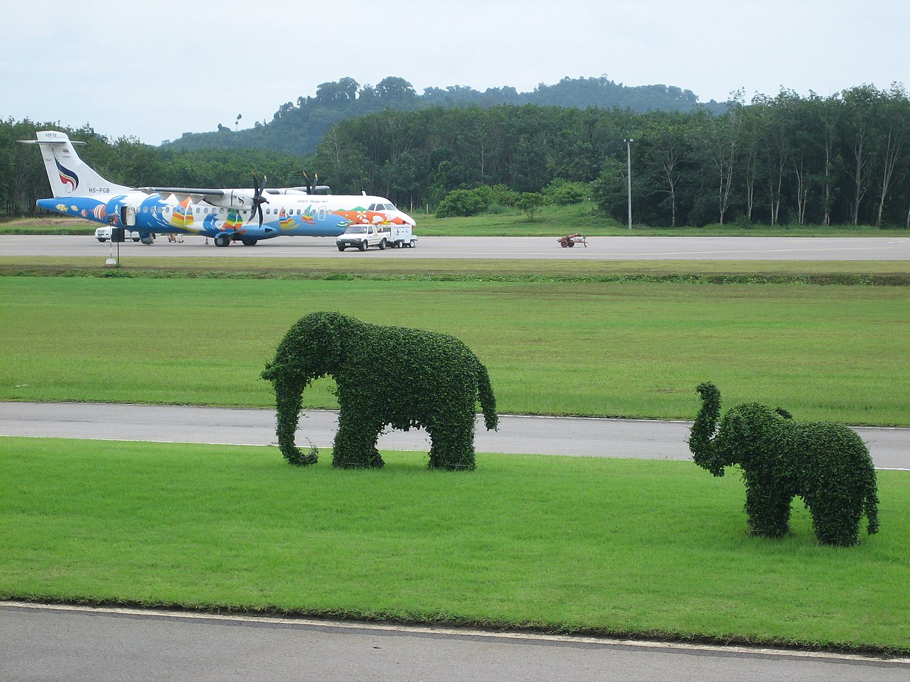
File:Trat Airport in Thailand.jpg
From Eco Friendly Travels

Size of this preview: 800 × 600 pixels. Other resolutions: 320 × 240 pixels | 640 × 480 pixels | 1,024 × 768 pixels | 1,280 × 960 pixels | 2,592 × 1,944 pixels.
Original file (2,592 × 1,944 pixels, file size: 1.31 MB, MIME type: image/jpeg)
Summary
| Camera location | | View this and other nearby images on: OpenStreetMap |
|---|
| Description |
English: Trat Airport, Thailand |
| Date | |
| Source | https://www.flickr.com/photos/thalling/1343502573/ |
| Author | thalling55 |
Licensing
This file is licensed under the Creative Commons Attribution 2.0 Generic license.
- You are free:
- to share – to copy, distribute and transmit the work
- to remix – to adapt the work
- Under the following conditions:
- attribution – You must give appropriate credit, provide a link to the license, and indicate if changes were made. You may do so in any reasonable manner, but not in any way that suggests the licensor endorses you or your use.
| This image was originally posted to Flickr by thalling55 at https://www.flickr.com/photos/28697629@N00/1343502573. It was reviewed on 16 February 2009 by FlickreviewR and was confirmed to be licensed under the terms of the cc-by-2.0. |
File history
Click on a date/time to view the file as it appeared at that time.
| Date/Time | Thumbnail | Dimensions | User | Comment | |
|---|---|---|---|---|---|
| current | 12:59, 16 February 2009 | | 2,592 × 1,944 (1.31 MB) | FlickreviewR | Replacing image by its original image from Flickr |
File usage
The following page uses this file: