File:Kuala Lumpur International Airport (18789311528).jpg
From Eco Friendly Travels
Size of this preview: 800 × 533 pixels. Other resolutions: 320 × 213 pixels | 640 × 427 pixels | 1,024 × 683 pixels | 1,280 × 853 pixels | 3,600 × 2,400 pixels.
Original file (3,600 × 2,400 pixels, file size: 2.59 MB, MIME type: image/jpeg)
.jpg)
Summary
| Description |
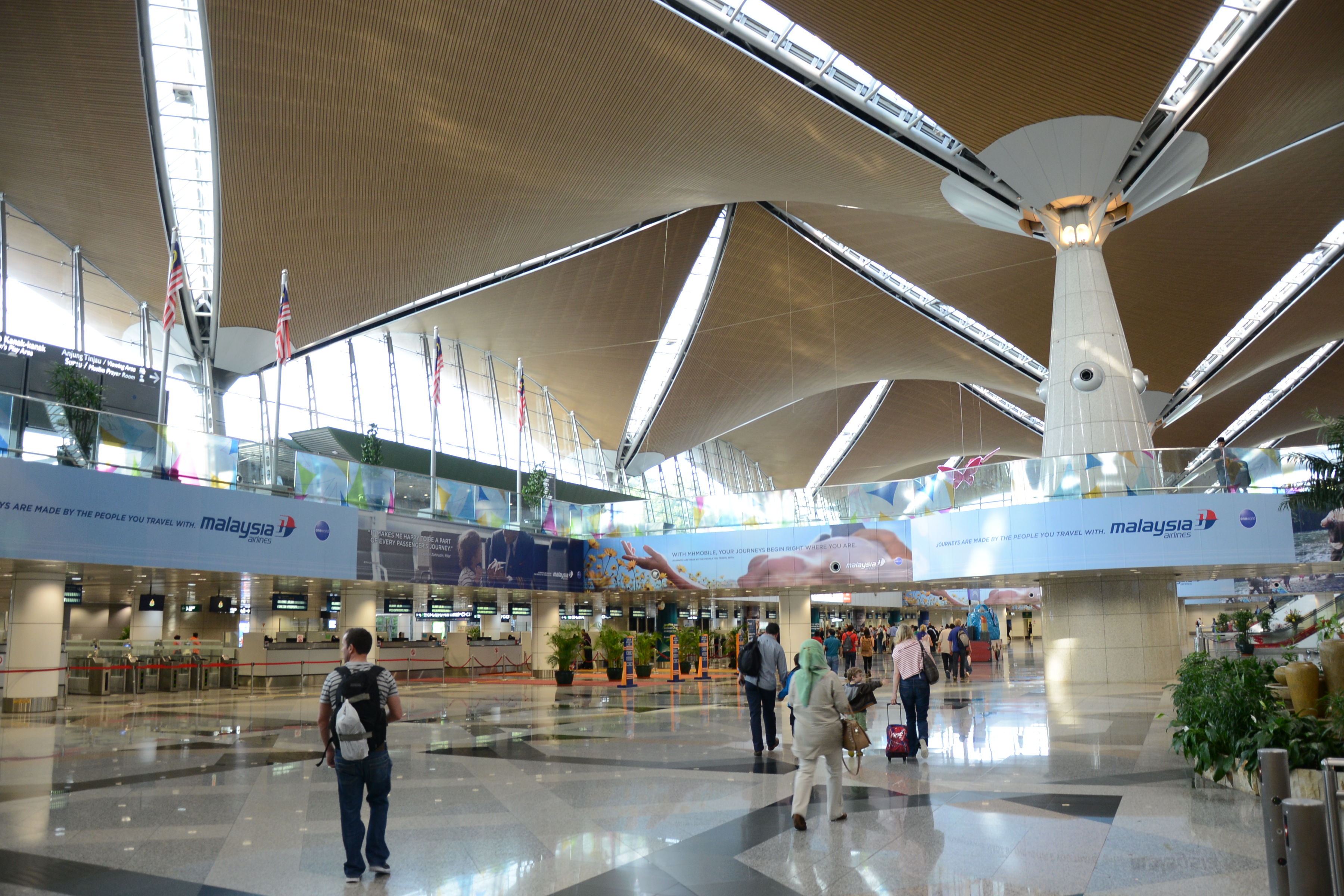
English: Kuala Lumpur International Airport (KLIA) is Malaysia's main international airport and one of the major airports of South East Asia. Built at a cost of US$3.5 billion in Sepang district of Selangor, it is located approximately 45 kilometres (28 mi) from Kuala Lumpur city centre and serves the Greater Klang Valley conurbation.
KLIA is the largest and busiest airport in Malaysia. In 2014, it handled 48,930,409 passengers and 753,899 tonnes of cargo. It is the world's 20th-busiest airport by total passenger traffic, 13th-busiest airport by international passenger traffic, and 28th-busiest airport by cargo traffic [Wikipedia.org] |
| Date | |
| Source | Kuala Lumpur International Airport |
| Author | Jorge Láscar from Melbourne, Australia |
| Camera location | | View this and other nearby images on: OpenStreetMap |
|---|
.jpg¶ms=002.759486_N_0101.704244_E_globe:Earth_type:camera_source:Flickr_&language=en)
Licensing
This file is licensed under the Creative Commons Attribution 2.0 Generic license.
- You are free:
- to share – to copy, distribute and transmit the work
- to remix – to adapt the work
- Under the following conditions:
- attribution – You must give appropriate credit, provide a link to the license, and indicate if changes were made. You may do so in any reasonable manner, but not in any way that suggests the licensor endorses you or your use.
| This image was originally posted to Flickr by Jorge Lascar at https://flickr.com/photos/8721758@N06/18789311528 (archive). It was reviewed on 2 February 2018 by FlickreviewR 2 and was confirmed to be licensed under the terms of the cc-by-2.0. |
File history
Click on a date/time to view the file as it appeared at that time.
| Date/Time | Thumbnail | Dimensions | User | Comment | |
|---|---|---|---|---|---|
| current | 10:53, 2 February 2018 | | 3,600 × 2,400 (2.59 MB) | Thesupermat2 | Transferred from Flickr via Flickr2Commons |
File usage
The following page uses this file:
.jpg)